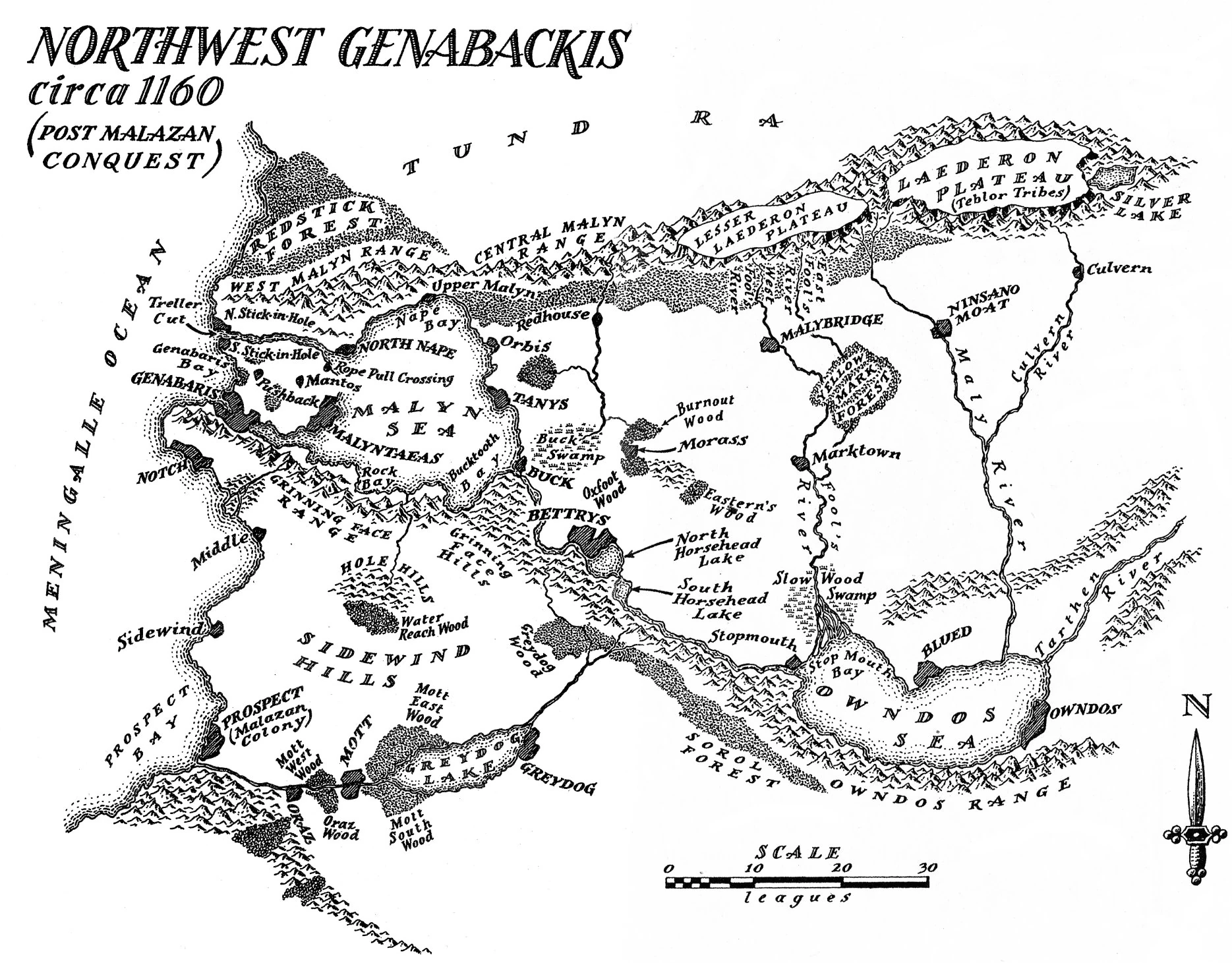
Northwest Genabackis
The Laederon Plateau, a tundra,[1] was an isolated height on the northwestern part of the continent of Genabackis. It was home to the war-like Teblor. There was evidence that the blood-oil the Teblor used on their weapons was made from otataral located here.[2]
Large white bears known as Nethaur lived amidst the plateau's ice and snow.[3] Bears standing half again as tall as a Teblor were said to live in the region's caves.[4] It was unclear if these were the Nethaur or another species.
To the plateau's north, where several valleys ran together, was the Buryd Fissure, which was filled with ice.[5] In 1012 BS, the area had been identified by a Nathii expedition as the site of the Kron T'lan Imass's seventeenth or eighteenth Jaghut War. At that time the expedition's Adept sensed that the Kron's Jaghut nemesis still remained somewhere inside the glacier.[6] Almost 90 years later in 1099 BS, the ice had suddenly melted revealing the perfectly preserved bodies of countless beasts to the Teblor elders who had gone to investigate. Also revealed were the signs of the ancient battle. The ground was littered with human-sized bones and broken weapons of stone.[7]
Bone Pass on the plateau's eastern escarpment was the sole passage between the eastern plateau and the lowlands near Silver Lake.[8]
The Great Raven, Crone, claimed that the broken peaks east of the plateau were evidence of Caladan Brood's "younger, more precipitous days" with his mountain shattering hammer.[9]
Notable residents[]
Map gallery[]
")
")
Notes and references[]
- ↑ Gardens of the Moon, Glossary, UK MMPB p.710
- ↑ House of Chains, Chapter 4
- ↑ Deadhouse Gates, Chapter 16, US HC p.432
- ↑ The Bonehunters, Chapter 14, US SFBC p.572
- ↑ House of Chains, Chapter 1, US SFBC p.63-64
- ↑ House of Chains, Chapter 2, Epigraph
- ↑ House of Chains, Chapter 1, US SFBC p.63-64
- ↑ House of Chains, Chapter 2, US SFBC p.69
- ↑ Memories of Ice, Chapter 3